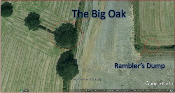
This is a follow up to a previous post about growing up in Thurnscoe. I had wanted to show the kids some of the places that I had played as a child, and to climb my favourite tree, but it wasn’t there. The tree wasn’t just cut down, every trace of it was obliterated from the Yorkshire landscape. I must confess to a smidgen of self doubt now. Had I somehow remembered it wrong? Was there ever a tree there at all? Were my adventures in the high branches just a dream, the product of some childhood fever?
No. The tree was real, and I have found it on Google Earth.
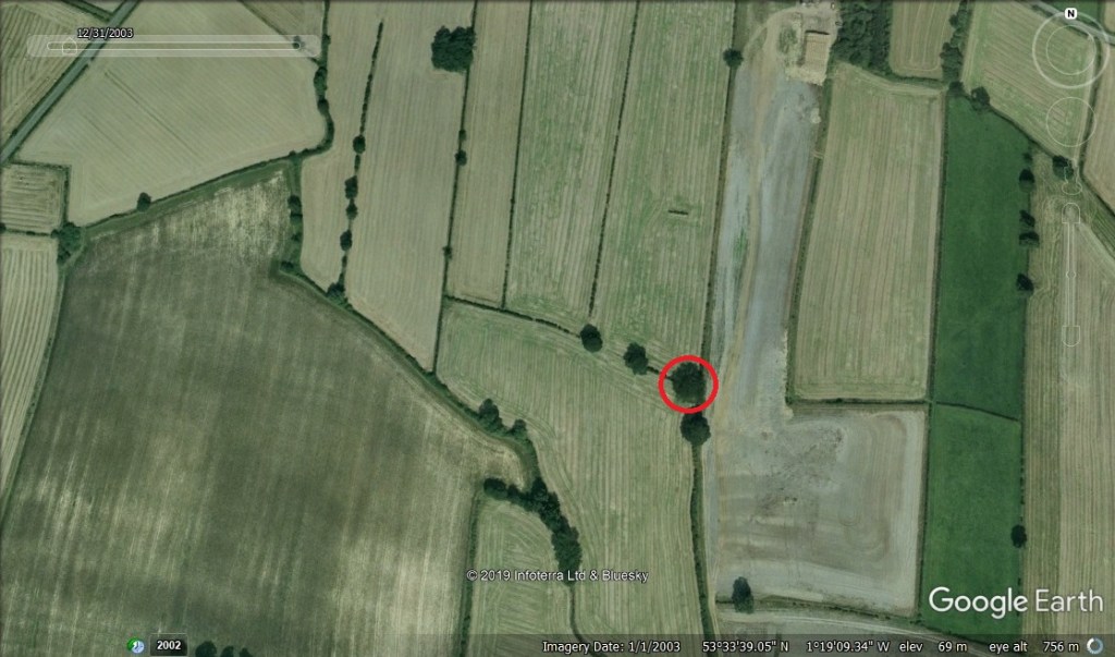
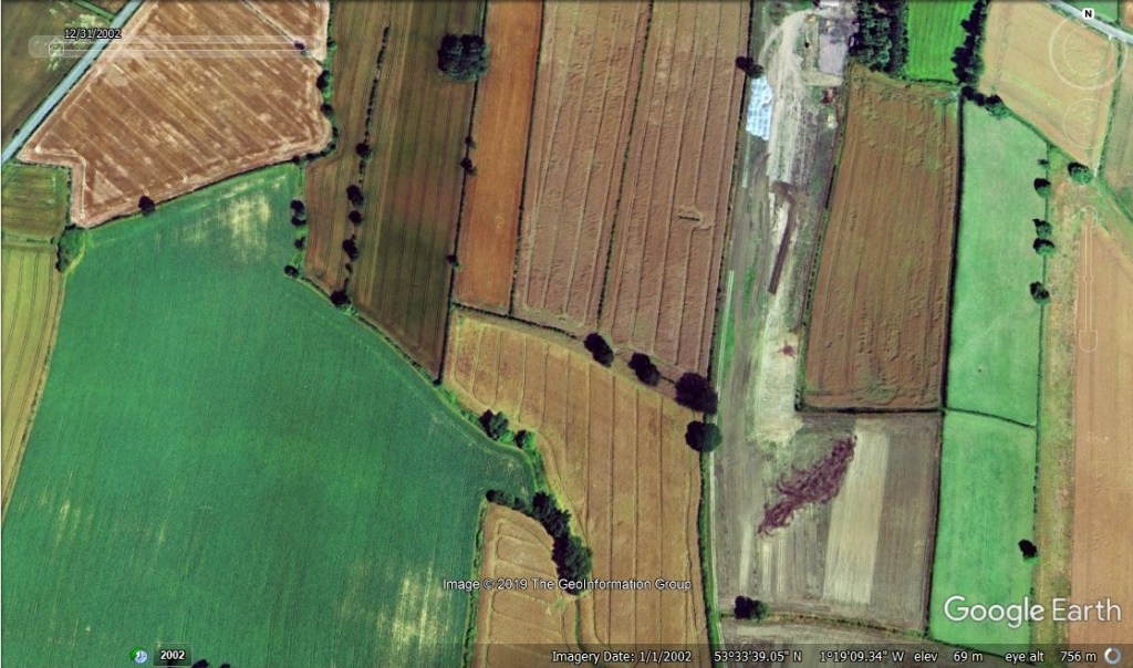
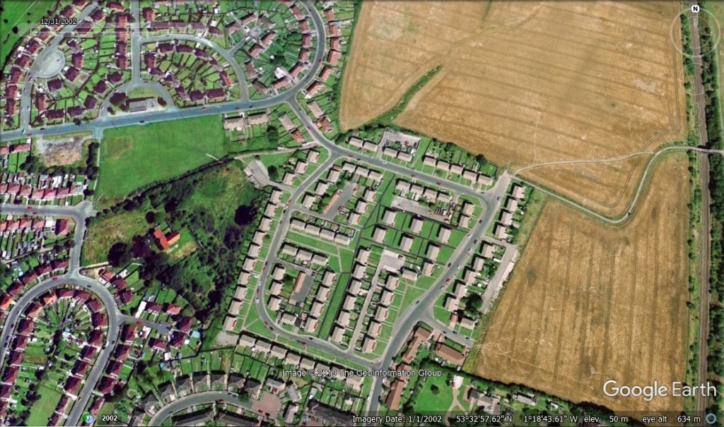
Google Earth has a fantastic feature that allows you to wind back the clock. Some data goes back decades, but for this obscure corner of the Dearne Valley, the earliest recorded imagery is 2002. This will be a great tool for the academics of the future, centuries from now.
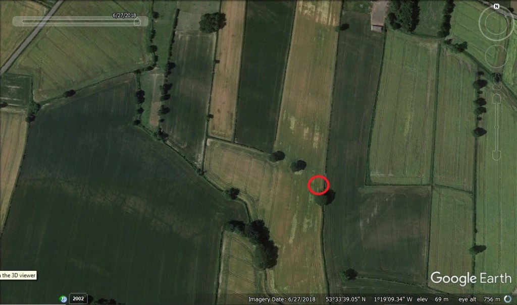
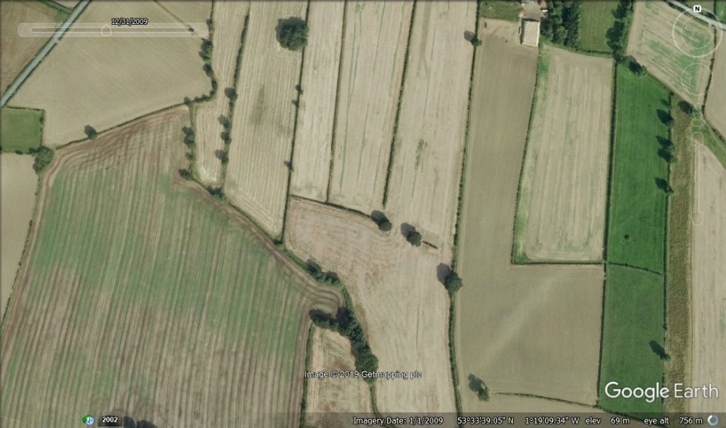
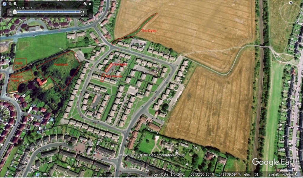
The red circles indicate the position of the tree. It wasn’t my imagination, and significant changes have also taken place in the field to right, it seems to have been cleared and worked over.
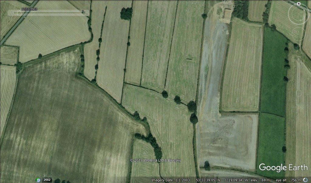
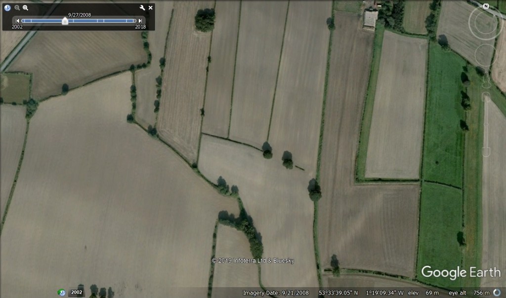
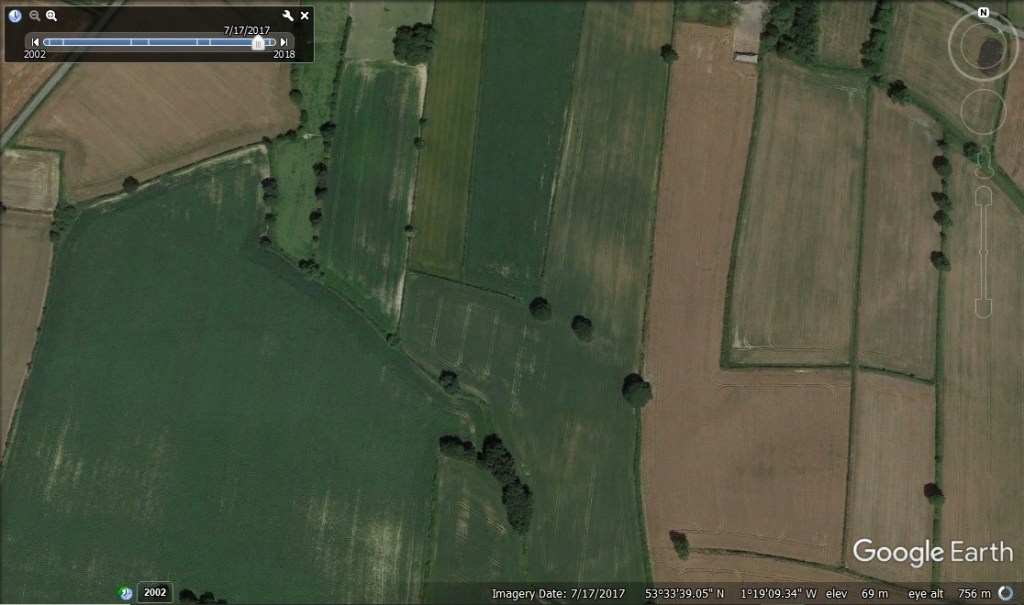
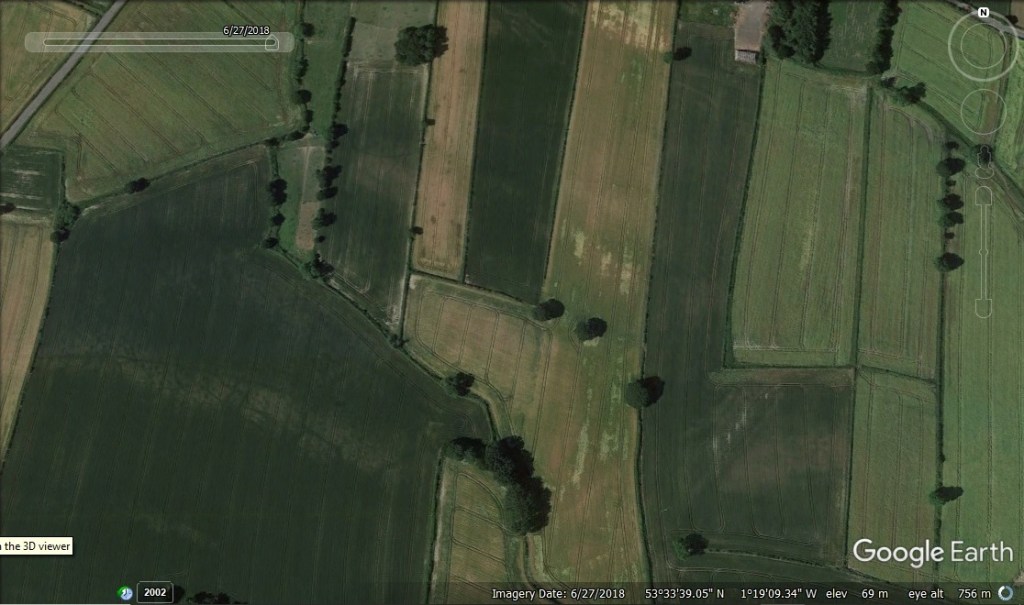
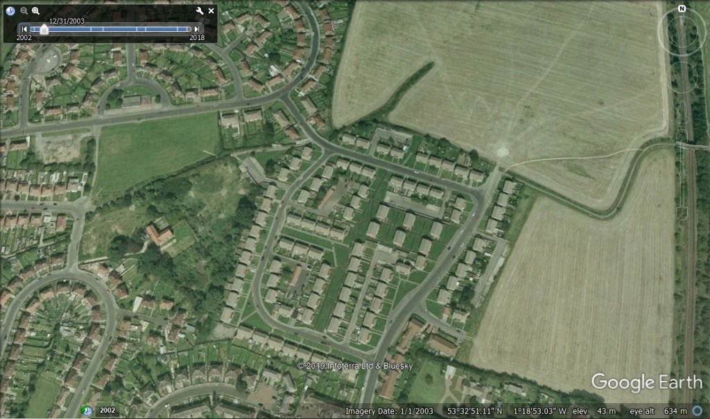
So, I know at least that memory was spot on, and that the tree disappeared some time between 2003 and 2008. There must be something in the archives about this. I’m planning to check the local papers and the planning applications.
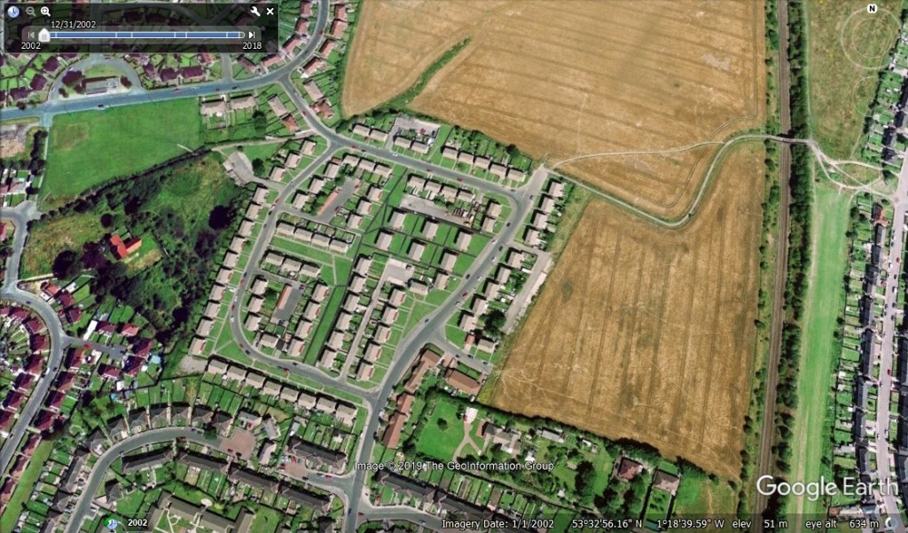
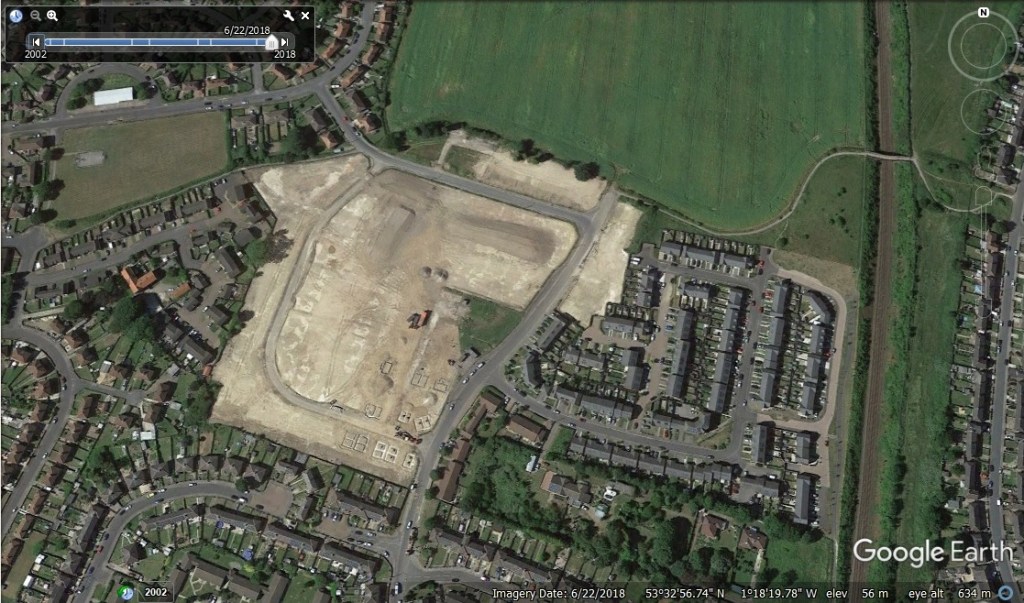
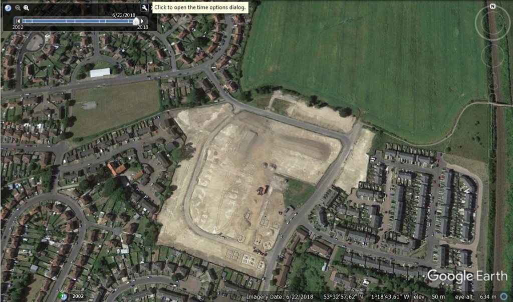
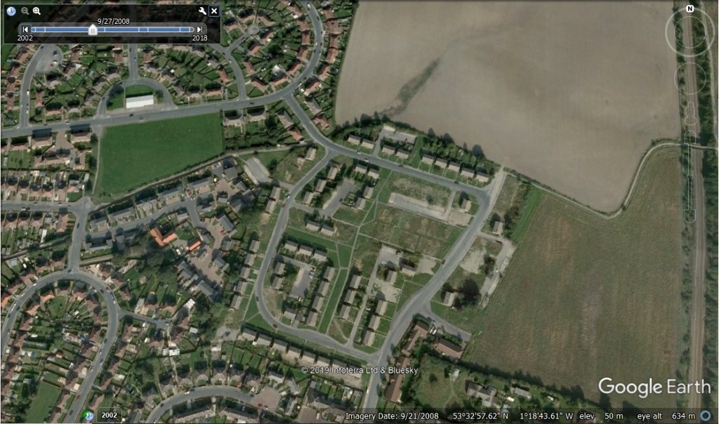
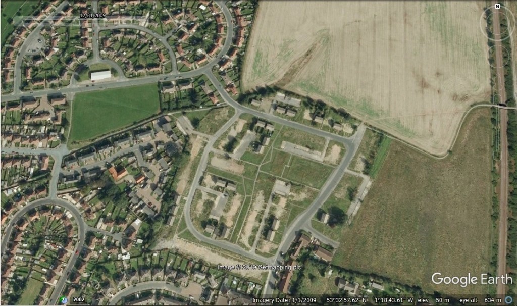
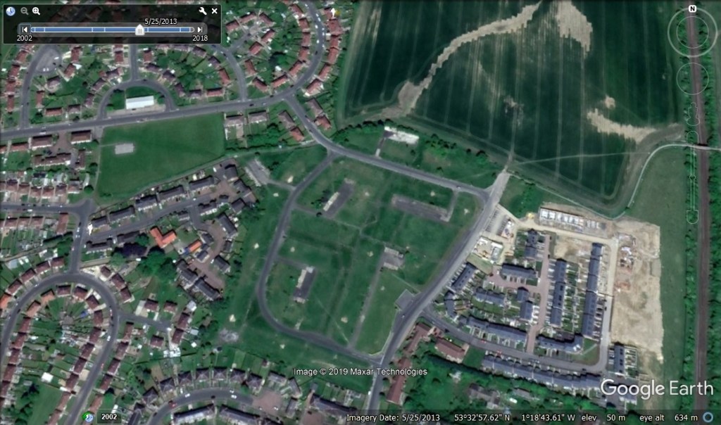
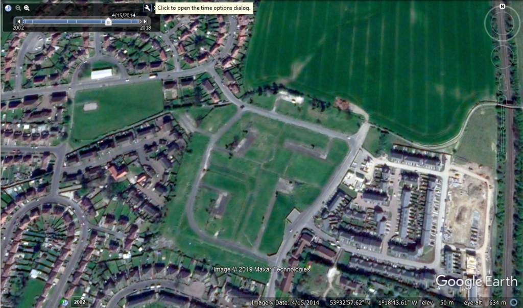
Google Earth has some great images of the Reema Estate going back to 2002. During that time, the entire estate has been torn down and work started on building replacement housing. Next to the estate was a farm, that was already reduced to just a house surrounded by derelict farm buildings, abandoned stables, the shell of a barn, and a large overgrown paddock. All of this is now housing. The arable fields to the east have also become a new housing development.
Many of the places that I knew were gone before the first aerial pictures were taken, but I’ve highlighted them here.

This is not as clear as I’d hoped, but I’m teaching myself how to edit images properly using Gimp. Good images are imported.
I was hoping that there would be better Streetview Images, but unfortunately not.
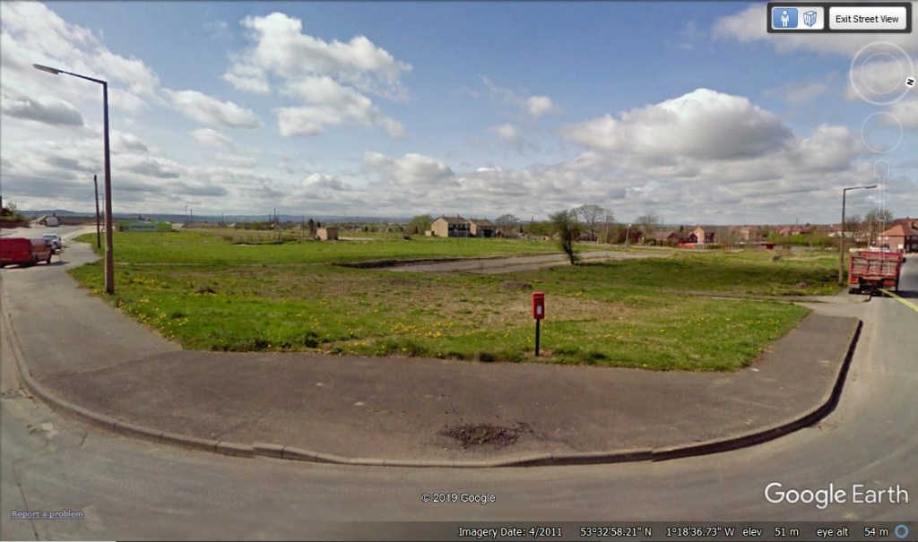
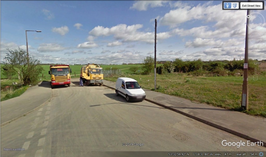
There is this one image though, from the corner of the Reema estate, by the path that led to the railway. I have very distinct memories of going here when I was very small. It represented the absolute boundary of where I was allowed to play. Beyond here were the dangerous places. The road was busier, wider, this was the bus route. It felt exposed, open, foreboding, and it still does. This was the frontier, and it always felt like there should have been more houses here, and its quite likely that there should have been. This corner was a T Junction, but only two roads.
I’ll expand on this in future posts.
